I want businesses to have a way to calculate their own impact on climate change
Hannah Helmke, Co-founder
right.based on science, Frankfurt, Germany
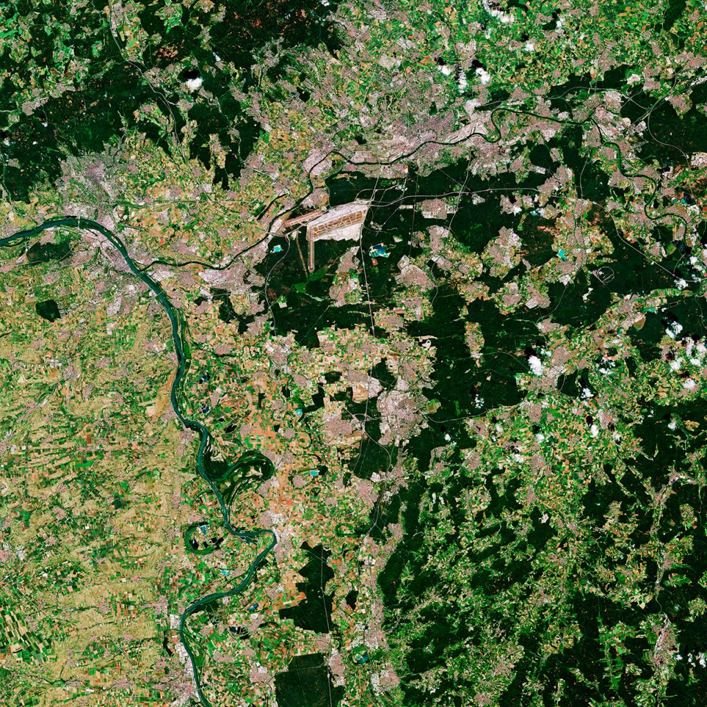
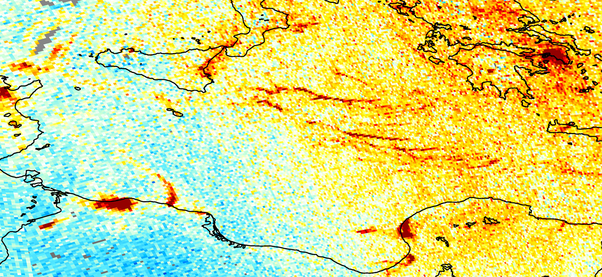
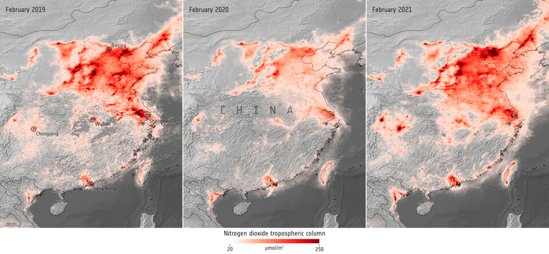
I decided to start my own company where I could spend the whole day measuring the climate impact of businesses or financial portfolios. Using the CESAH space incubator, we got access to satellite technology that we can use to calculate emission data for a single company.
Interview

My name is Hannah Helmke, I am co-founder and managing director of right.based on science, a young company located in Frankfurt, the financial capital of Europe.
right.based on science is a provider of climate metrics and software.
We calculate the contribution that an economic entity has on global warming and we express this impact in a very tangible way with a degree Celsius figure.
After university, I worked at several companies always maintaining my interest in science based climate metrics, and measuring the climate impact of companies or financial portfolios. Unfortunately I never had enough projects like these, never had enough time to pursue this goal, so I decided to start my own company, where I could spend the whole day working on these kinds of topics.
There are a lot of networking opportunities in Frankfurt, and at one such event, I met somebody working at CESAH, and we got talking. He was fascinated by what we do and he said “Hey, we have this space incubator program, it might be something you could use.” So we looked at the program and thought it would be really cool if we could retrieve emission data from satellite data. So we applied and we were lucky enough to be chosen.

To be creative and innovative as an entrepreneur, I think it is essential to connect with the status quo. Because only if you understand the status quo can you understand what it might take to change it for the better with creativity and innovation.
The space incubator provided us with a valuable network and support when it came to finding the right information technologies to work with the satellite data, and the program advised us on which hardware and software we needed to solve the problems we were confronted with when looking at raw data and the question of how to turn this raw data into emission data that we could eventually use for our product.
Through the incubator program we gained access to satellite technology which provided us with the opportunity, for example, to calculate the emission data for a single country and use this emission data to calculate its climate impact.
Diversity has a strategic meaning for right.based on science, because climate change is a transversal issue.
It has economic meaning, social meaning, and scientific meaning which is why we need diversity in right.based on science’s team to make sure we understand climate change and to build products that support people in reducing their levels to below 1.5 degrees Celsius. This is why I have tried to put a team together formed of complimentary people with very diverse backgrounds regarding their education but also their nationality and where they are.
My message to visitors of the Space for our Planet exhibition is a question: What is more promising: to use the knowledge that we gain from Space to maintain liveable conditions on our own planet or create liveable conditions on other planets?
Promote sustained, inclusive and sustainable economic growth, full and productive employment and decent work for all
Check out more