Space gives us the means to clear minefields more efficiently
Robert Pearson, Director
Chelton, London, United Kingdom
There are currently still 58 landmine affected countries around the globe and many tens of millions of landmines and improvised explosive devices that need to be cleared. MIDAS, which is part of the European Space Agency Integrated Applications Program, stands for Mine and IED Detection Augmented by Satellite. MIDAS came from the idea that it might be possible to clear minefields more efficiently and with a greater level of assurance by combining dual sensor technology with precision navigation by satellite and Earth observation techniques.
Interview
My name is Robert Pearson and I’m based in the southwest of London in the United Kingdom.
I’m an engineer by background, having studied physics and then a Ph.D. in engineering at University College, also in London.
Over the last 30 years, I’ve led various advanced technology programs on the use of navigation, communications and radar systems, including for space applications.
I’ve also managed various businesses focused on innovation for aerospace. Over the past decade I’ve been involved in the development and deployment of technologies for locating and detecting landmines and improvised explosive devices, IEDs, a subject that I’m really passionate about.
I work for Chelton, part of the Transdigm group, and we’re committed to making our innovative technologies available to support landmine and IED clearance worldwide.
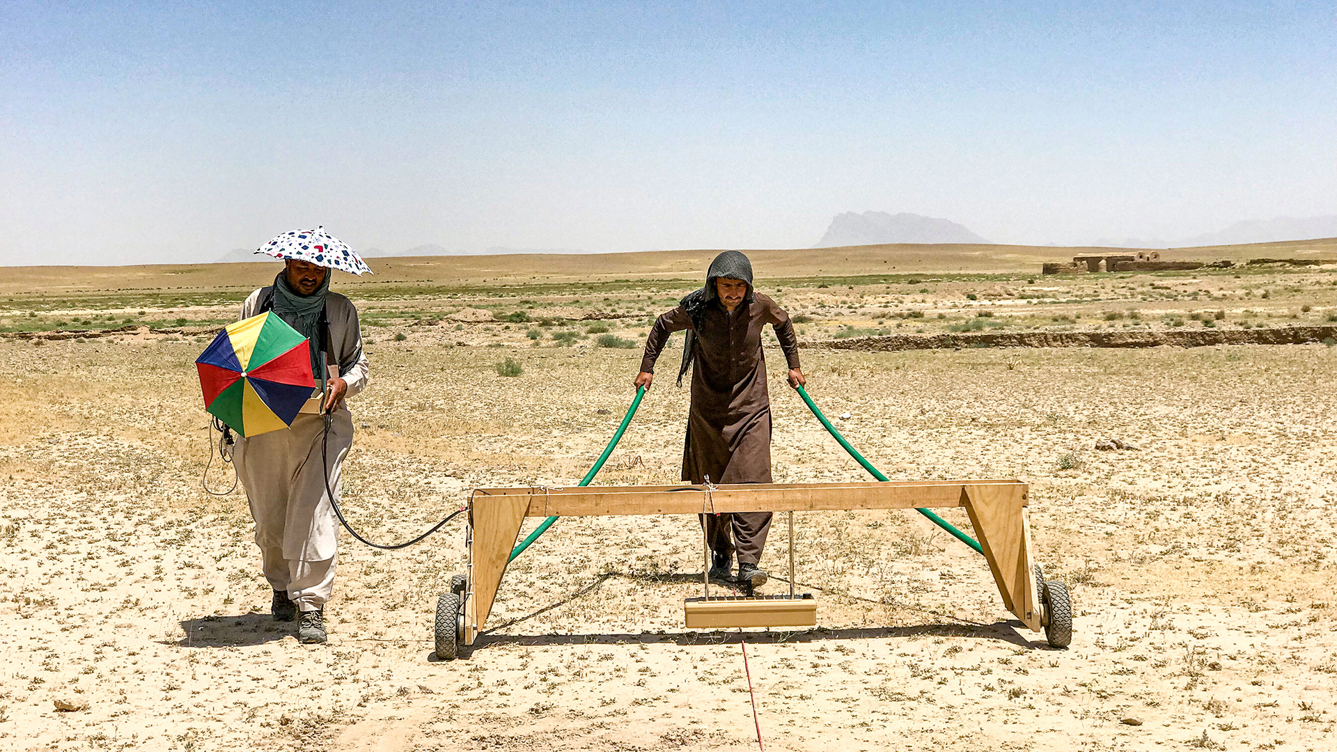
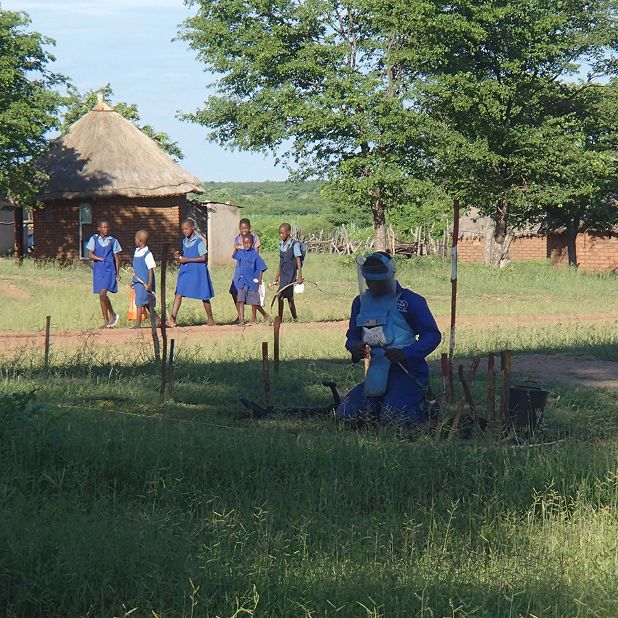
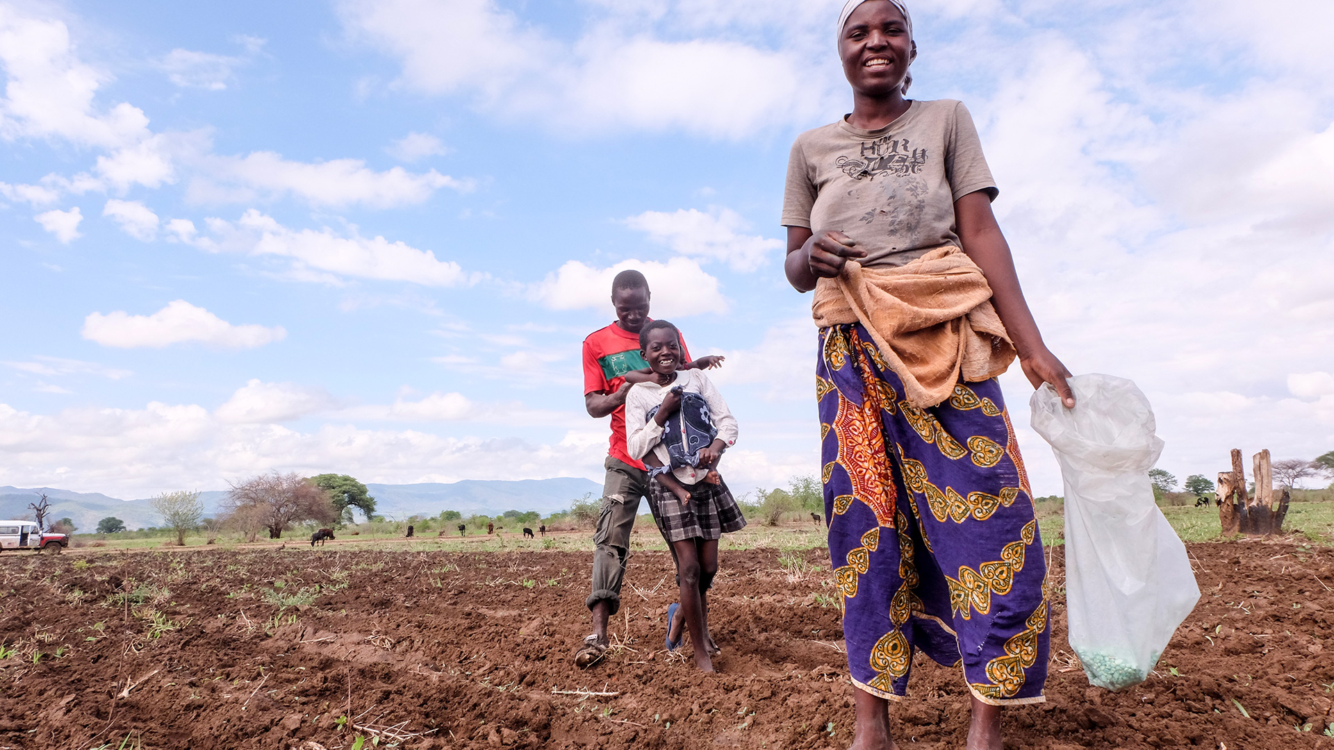
Government and international institutions such as the United Nations Mine Action Service have a key role to play. However, a number of non-governmental organizations such as Halo Trust also have a vital role to play in clearance operations around the world. Halo began clearing in Afghanistan in 1988 in Herat province alone, they’ve cleared over 600 minefields. Halo and the Mine Action Program of Afghanistan have made approximately 80 percent of the country’s minefields and battlefield safe. They clear landmines and dangerous remnants of war, making land safe and supporting families to rebuild their lives. Landmines blight lives and communities around the world, preventing land from being returned to use in farming.
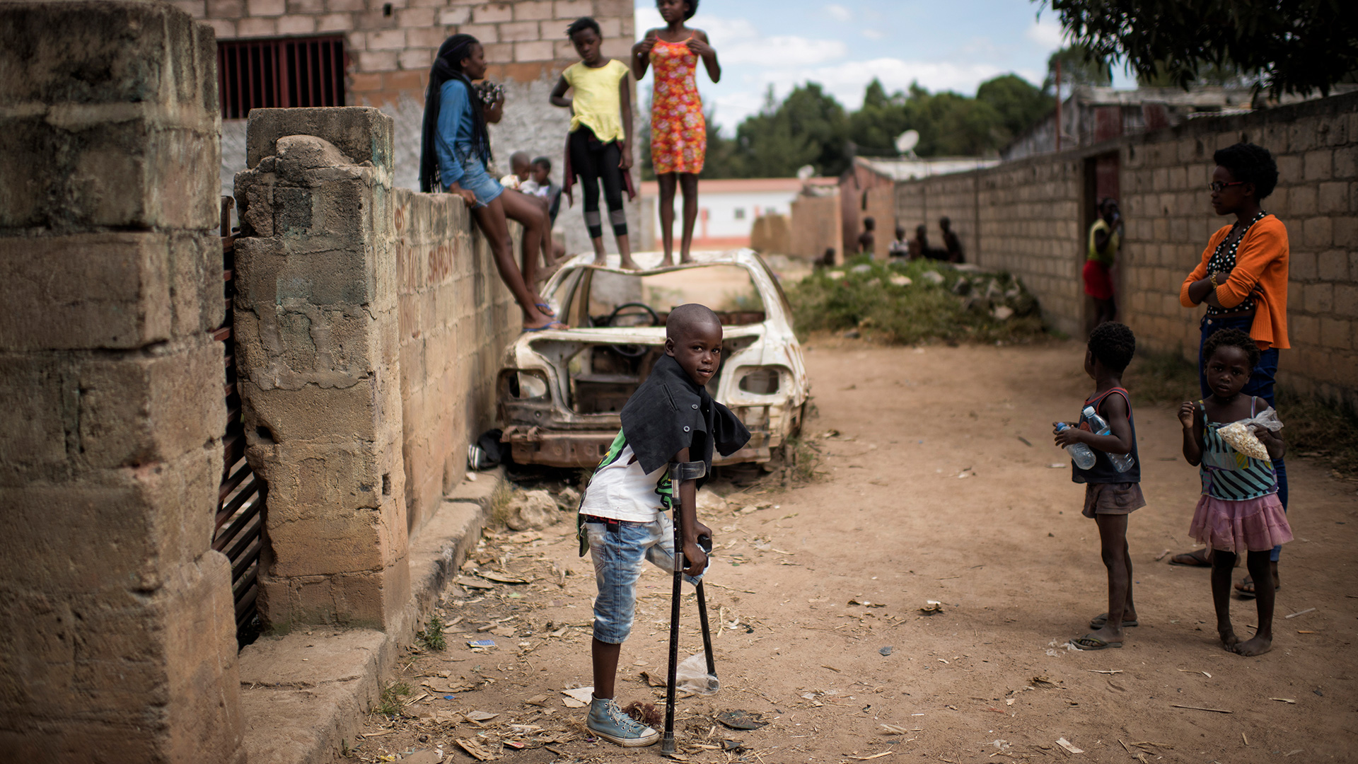
At the same time, they endanger families, including children. Mine-affected regions can also make it difficult to access drinking water and firewood, meaning that people risk death or injury on a daily basis.
The idea for MIDAS came from the work we were doing at the time focused on IED detection and the idea that it might be possible to clear minefields more efficiently and with a greater level of assurance by combining dual sensor technology with precision navigation. MIDAS stands for mine and IED detection augmented by satellite. The program was a multinational effort involving companies from the U.K. and Italy. Unlike conventional metal detectors, ground penetrating radar technology, can find low metal content, landmines and IEDs, which the metal detectors are unable to find.
MIDAS was part of the European Space Agency Integrated Applications Program, as well as combining radar sensors with GPS. The project looked at the use of future precision navigation capabilities of the Galileo Global Navigation Satellite System and the use of Earth observation satellite data to understand the type of ground conditions by country and by region. These Earth observation satellites typically carry their own radar.
However, it is not possible to see individual land mines from Space. However, information can be gathered about the type and composition of the soil, which in the future could assist in the automatic calibration of the landmine detection equipment, a key requirement as the user does this normally in the field manually.
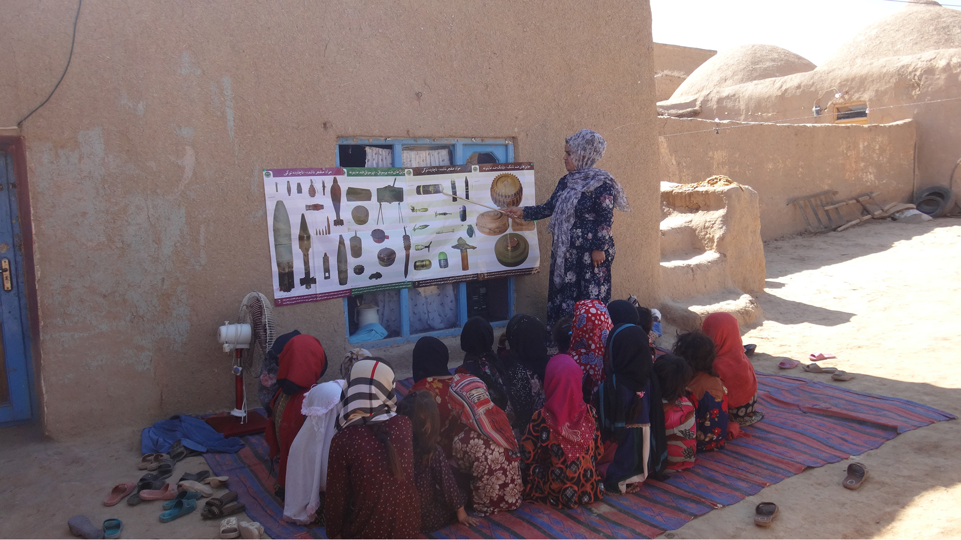
We’ve pioneered the use of such radars for finding landmines both on their own and as part of dual sensor systems.
By combining ground penetrating radar sensors with precision navigation it also becomes possible to clear minefields using autonomous systems or manual approaches that record the area that’s been covered.
By combining multiple sensors in an array with satellite navigation it’s possible to cover the ground more quickly, clearing the path for up to three meters in width rather than using a slow, labour-intensive hand-held approach.
Another innovative part of the Midas program was the use of virtual reality in support of training, allowing landmines and IEDs to be virtually buried in the ground.
This is used to assess and to train students. Training really is a vital part of demining to ensure that users aren’t posing a risk to themselves or others. An indoor training system was developed based on gaming technology using virtual reality headsets to make the experience fully immersive. Once the trainee puts a headset on, they would find themselves standing in a minefield in a particular part of the world representative of where they were going to be using the equipment and they would react to these synthetic targets in a way that was representative of the real thing.
The trainer could assess the performance of the deminer and record how they performed. An outdoor satellite navigation version was also developed, which operated just like a real demining scenario, this time with no headset and again working outdoors. The trainer could place virtual landmines on a tablet or a PC and these would be detected by the trainee. They could alter the depth and again, the type of mine used, and this would really be a great technique to improve their skills.
Landmines affect people every day; they injure and kill thousands of children each year. Technology can and is helping, and Midas has its part to play, but on its own, it’s really not enough. It is important that we rid the world of landmines and IEDs and urge every nation to support the ban on these devices. Space also has a key part to play in helping us to locate and track and search these minefields before they can maim and kill.
Promote just, peaceful and inclusive societies
Check out more