Satellite data builds resilience of farmers in West Africa
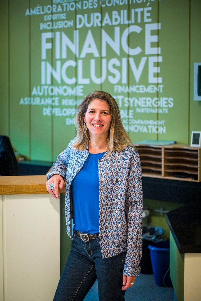
Caroline Morilhat, Programme officer
ADA
Luxembourg
Climate change-related weather events have a significantly negative impact on smallholder farmers in Africa. Index-based insurance is a promising tool to enhance farmers’ resilience and protect their production risks in case of drought and flooding. Satellite data is used to estimate pasture availability on the ground and trigger pay-outs for pastoralists when availability falls.
Interview
I’m Caroline Morilhat, programme officer at ADA for 10 years, coordinating programmes aiming at increasing the resilience of smallholder households, including projects in index-based insurance.
ADA is a Luxembourgish NGO that has been increasing the autonomy of vulnerable people in Africa, Central America and South-East Asia with inclusive finance for 30 years, contributing to sustainable development goals. ADA’s activities focus on three main topics: youth entrepreneurship, agricultural and forestry value chains, and access to basic services.
The income and livelihoods of smallholder farmers in developing countries are always at risk due to natural disasters and extreme weather events.
Their crops may be ruined and their livestock may die from drought, floods, heat, diseases, insect and parasite infestations. Climate change poses a major threat to around 600 million smallholder farmers worldwide.
Agricultural insurance can play a crucial role in protecting farmers and breeders but, globally, less than 20% of smallholder farmers have some form of insurance, and this is less than 3% for sub-Saharan Africa.
The agricultural sector is considered to be very risky and costly to serve for insurance companies, which reduces drastically the number of organisations entering this market. Furthermore, there is a low awareness of insurance among the beneficiaries, meaning they don’t understand or don’t trust insurance, which is then coupled with the high cost of premiums.
At ADA, we partner with insurance companies and Insurtechs to develop innovative agriculture insurance. Insurtechs, short for “insurance technology,” are companies that leverage technology to innovate and improve the insurance industry. They use climatic and satellite data to develop Index-based agricultural insurance, also known as parametric insurance.
Index insurance is different from traditional insurance. We all know that in traditional insurance, in order to receive compensation after the insured event occurs, you, the policy holder, need to make a claim with proof and various completed documents which are then verified by the insurance company. In index insurance, the claim process is removed and compensation is paid when a pre established index is reach like for example too much rain water, or not enough, or the temperature over a period is above the index. This removes, in theory, a lot of the expensive administrative costs of managing claims, not only reducing the cost of the premium but also, in theory again, accelerating the paying of compensation.
We implemented a number of projects to experiment index-based insurance. For example, with an Insurtech OKO, we launched an index insurance product for for small-scale maize producers in Mali. And in Senegal, with an Insurtech Ibisa, we launched another type of product for cattle breeders to cover drought and flood risks. In 2023, thanks to our partners, over 70,000 farmers benefited from index-based insurance in West Africa and Central America.
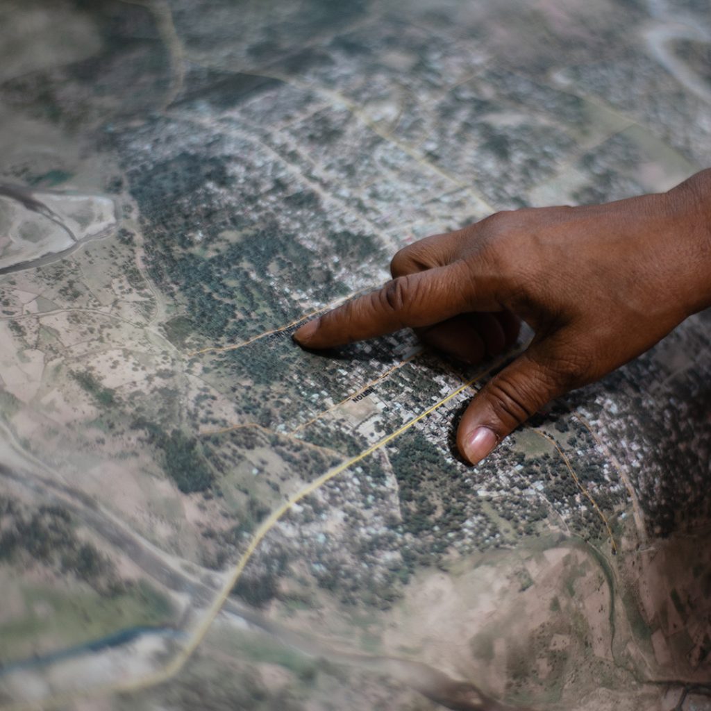
When index insurance was first tested, the main source of data came from meteorological stations based in local areas. However, since a few years now we have seen an ever-increasing use of satellite imagery and space data to measure rainfall, temperature, soil moisture, evapotranspiration or vegetation levels.
The data is used to, as mentioned previously, to trigger the payment of compensation. when the index is reached.
This data is also used in design and pricing of the insurance product as it allows us to see what is happening over a long period. Specific trigger points or thresholds are established. A payout is automatically triggered if the index reaches these points during the agricultural season.
As a result, the assessment process is less costly, and compensation times are shorter than those of conventional insurance. In the long term, once product structures have been standardized and most administrative processes, automated, administrative costs are reduced which offers the potential for lower premiums.
Nevertheless, there is still a lack of high quality weather and yield data in many developing countries. There is a need for more geographical precision/accuracy of the data, because producers located 5 kilometres from one another may not experience the same agricultural season.
Satellites have an enormous potential to facilitate the scale up of index insurance across the developing world.
The journey ahead is still long, but combining space data with advanced technology offers a promising avenue for developing innovative solutions to help smallholder farmers mitigate the risks of climate change.
