We use images from the Sentinel-2 satellite to detect anomalies in olive groves
Abdelaziz Kallel, LecturerDigital Research Centre in Sfax, Tunisia
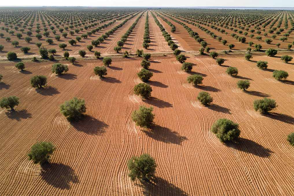
Olive groves account for 30% of our cultivated land and 50% of our total agricultural exports; olives are Tunisian agriculture’s main product. In partnership with CNRS and CESBIO, we use images from the Sentinel-2 satellite mission from Copernicus, the European Union programme, to detect anomalies in olive groves and stress to plants, phenomena that have been multiplying with climate change.
Interview
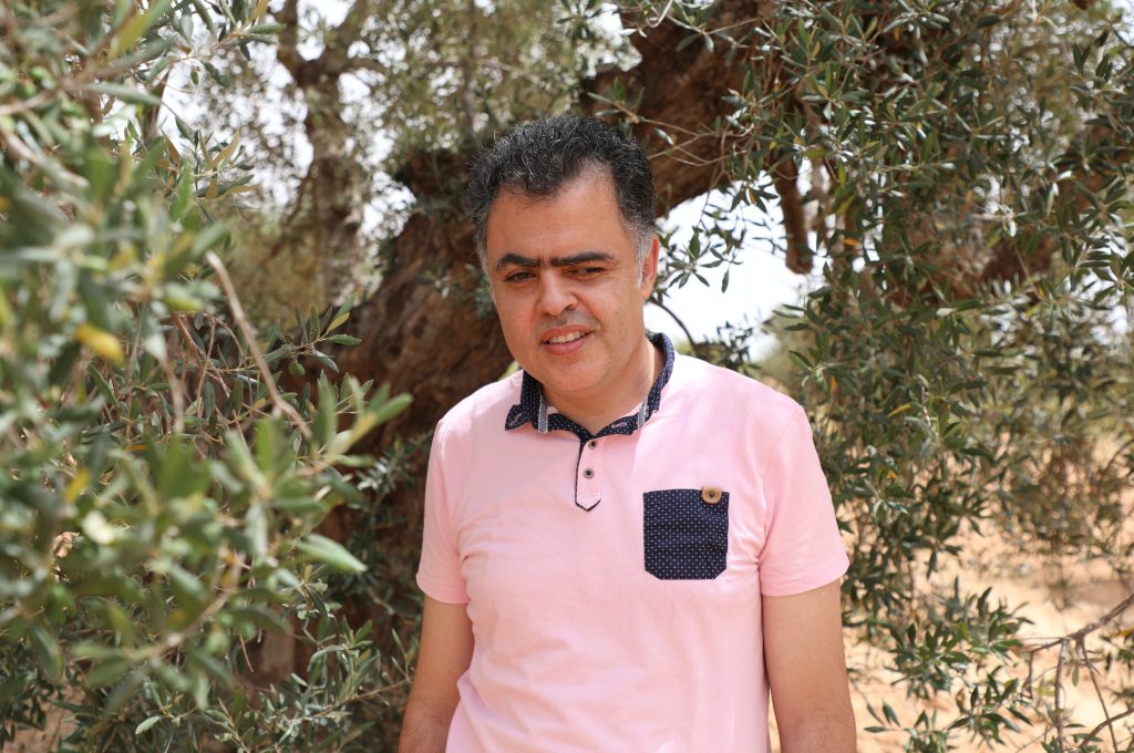
I am Abdelaziz Kallel, professor of image and signal processing at the Digital Research Centre in Sfax. I am the head of the Remote Sensing for Smart Agriculture team.
Our mission is to monitor and survey vegetation around the world and in particular in Tunisia, whether forests or agricultural fields. For this, we use different sensors: satellites, aircrafts, drones and robots.
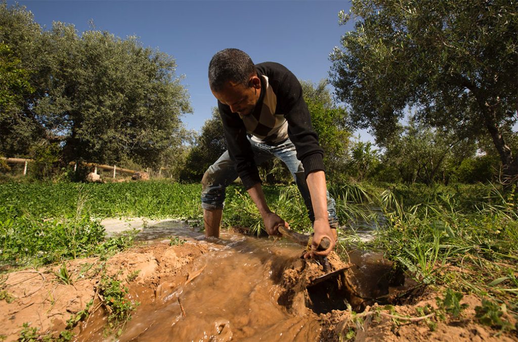
With 30% of cultivated land and 50% of total agriculture exports, olive trees have a primary role in our agriculture. They are also important for our food security as well as our trade balance. There are many challenges, however: we need to increase our yields, both in quantity and quality to meet international standards, in Europe for example.
Our goal is to detect anomalies and stress on a large scale. For that, we use remote sensing data, in particular Sentinel-2 satellite imagery from the Copernicus European programme. In addition to our team, we have several partners: in Tunisia, there is the Olive Tree Institute, which helps us detect anomalies in the fields; and in France, CESBIO and CNRS, who are experts in vegetation signal modelling. In addition, we have developed projects with socio-economical partners such as Orange Innovation and other start ups.
As climate change becomes a reality, it is necessary to adapt. When we observe long periods of drought, we see more diseases in our fields, so we need more resistant trees to fight such harsh conditions.
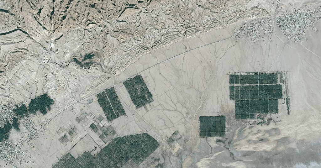
We process satellite image data in order to check the variation of biophysical properties. This allows us to detect changes to chlorophyll content, water content, nutrients or decreases in the density of foliage. Foliage density refers to the size and the number of leaves in trees, and is a sign of disease. Farmers are our most important end users. The platform that we are currently developing will include a mobile application for them that will inform farmers week after week about the state of their trees.
For instance, if there is hydric or nutritional stress, or if there is any kind of diseases.The message that I would like to send to all the visitors of this exhibition is that right now satellite observations offer a strong tool to detect the effect of global changes. It is the role of all us to fight against this now.
End hunger, achieve food security and improved nutrition and promote sustainable agriculture
Check out more