Using space data, we can help farmers adapt to climate change
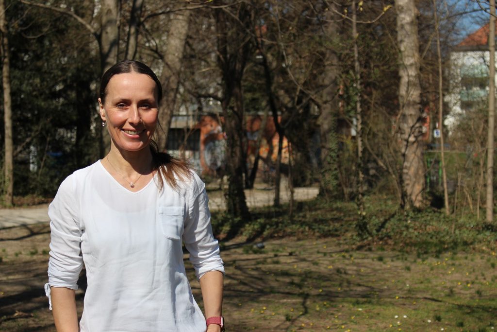
Katja Berger, Post-doctorate researcher - Ludwig-Maximilians University (LMU), Department of Geography & Remote Sensing, Munich, Germany
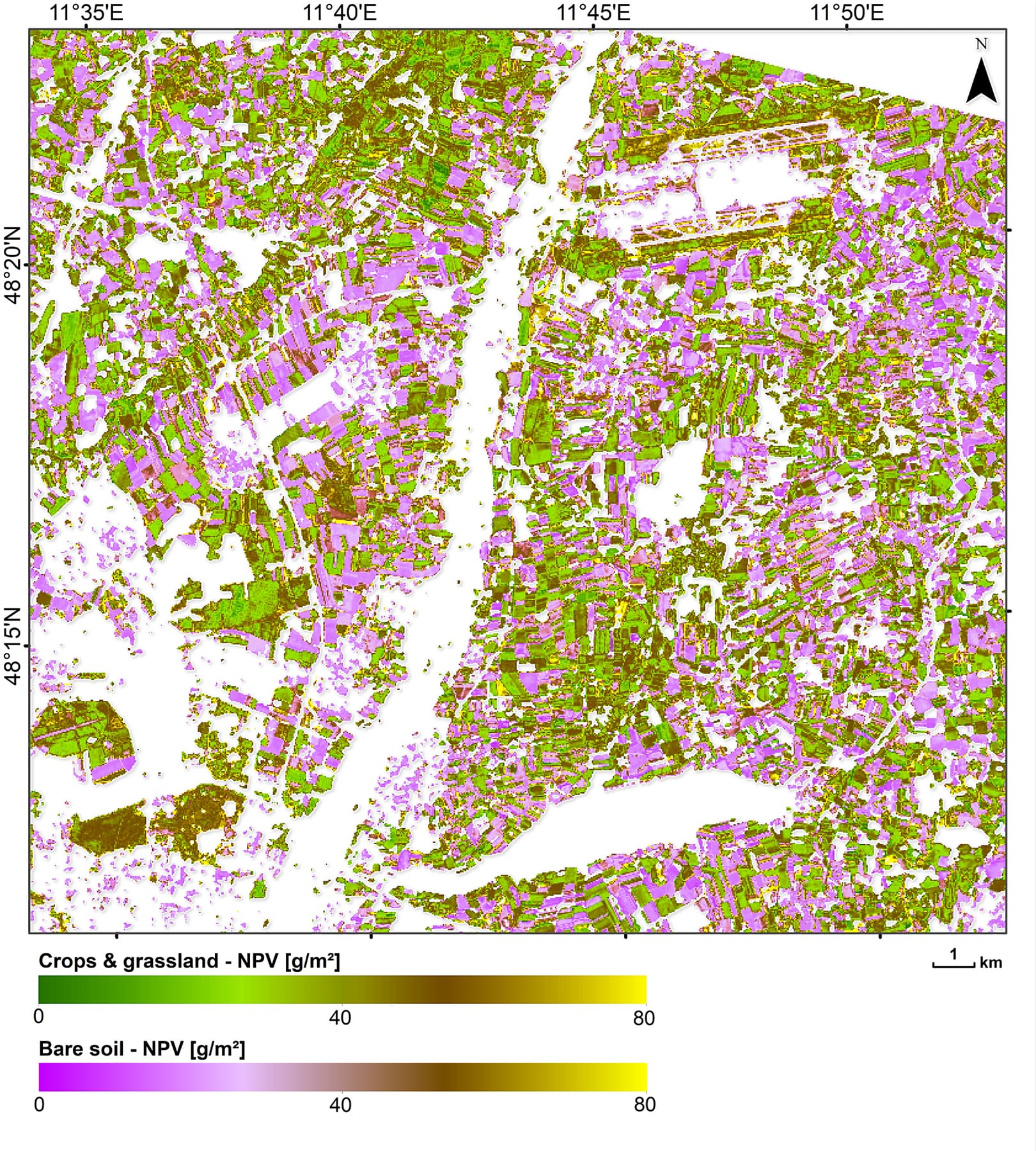
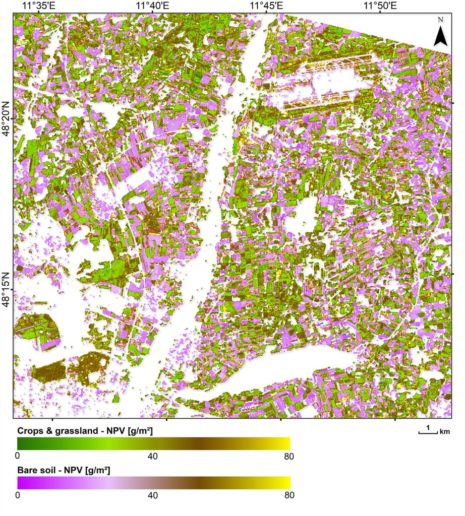
The purpose of my research is to develop agricultural products from hyperspectral satellite missions such as EnMAP with the German space agency (DLR) or the European Copernicus missions. We provide applications to monitor the nutrition status of crops, the water content of the canopy, or just crop vitality. With this information farmers can decide where to put fertilizers, where to irrigate and the variable rate application of their inputs. In the context of climate change, such precision farming allows our agricultural systems to be much more efficient and sustainable while ensuring food security.
Interview
My name is Katja Berger, and I work as a post-doctoral researcher in two different departments. On one hand, I am based at the Ludwig-Maximilians University (LMU) Munich at the department of geography. Here we focus on the EnMAP hyperspectral satellite mission, it is a German national mission from DLR which will be launched and we have a team that prepares agricultural models and software tools to directly use future EnMAP data. I am also based in Valencia as a part time post-doc where my research topic is quite similar. We prepare agricultural algorithms for other European satellite missions like CHIME or analyse Copernicus data, like Sentinel 2.
The purpose of my research is to create agricultural products and information using future hyperspectral missions and specifically for agricultural applications like the nutrition status of crops, or the water content of the canopy, or just crop vitality. In this sense, Earth observation can provide very valuable information and products for agricultural applications in precision farming. In this way it can provide support for managing sustainable agriculture. Sustainability is the most important point. In the context of climate change this is one of the main aspects for our future in terms of food production and food security.
Space technology can be used for precision agriculture and smart farming to help manage agriculture more efficiently. Precision agriculture involves site specific management and using remote sensing data products like maps and the inner field viability of the crops, we can provide farmers with information which they can use to decide where to put fertilizers, where to irrigate, how to apply variable rates in these inputs. This makes farming and agriculture systems much more efficient and sustainable.
Space technology can help in achieving sustainable development goals by providing essential information and products across the globe. On the one hand, it gives status, and on the other, it helps monitor agricultural regions, on the local to regional and national to continental scales. We obtain direct information which can be relayed to food production. This is important in the context of climate change. Product maps that we generate from Earth Observation can also be used as mechanistic models to simulate crop growth, or the Earth’s carbon cycles. This way we can obtain a more comprehensive view of our agricultural systems and of whole ecosystems, while obtaining sustainability.
My message for visitors to Space for our Planet is that we are a huge, interactive research community in Europe and also globally. We all have an overarching goal to provide important products from Earth observation technology which ultimately is used for supporting the sustainability of our planet so that our children and everyone can have a secure life on Earth for the next hundred years.
Gallery
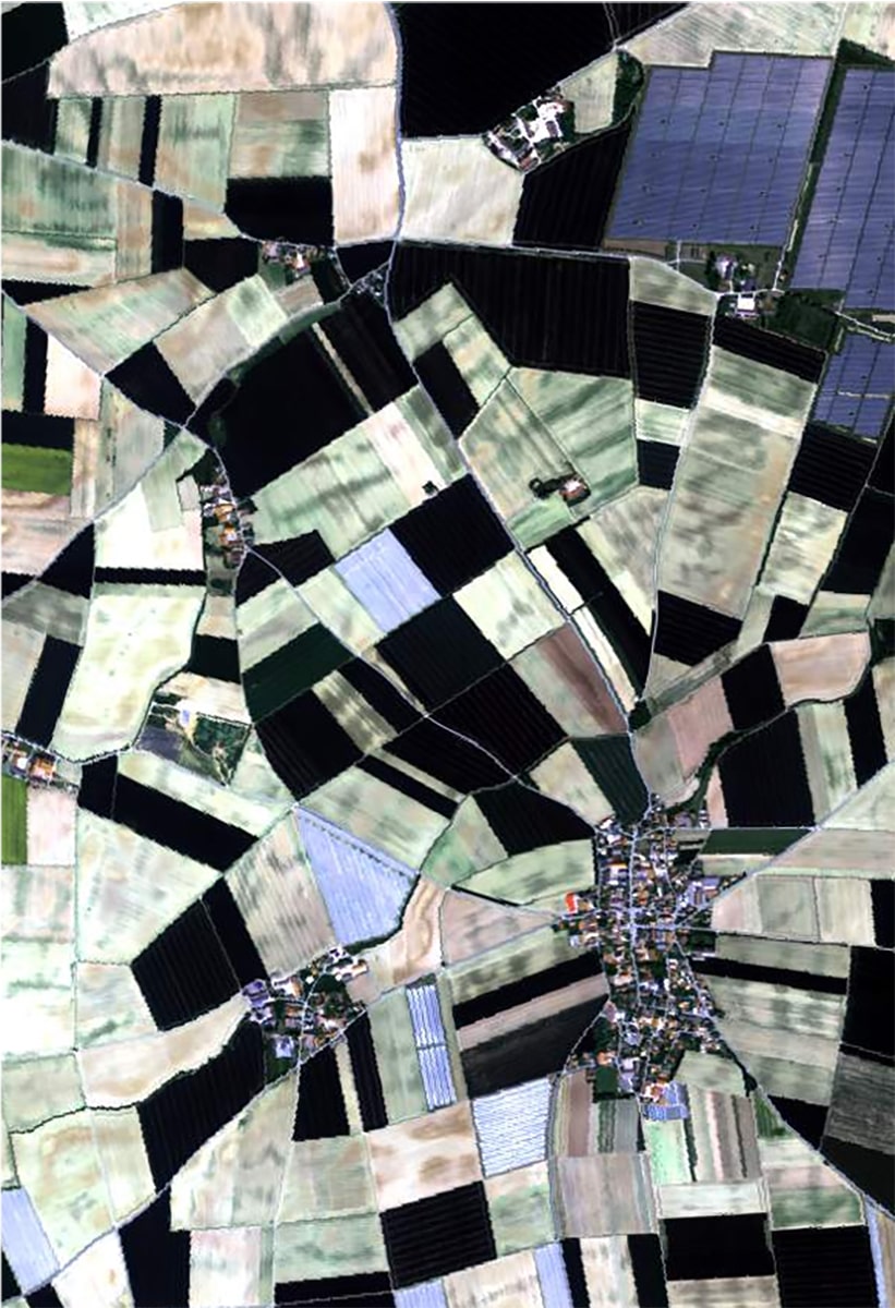

End hunger, achieve food security and improved nutrition and promote sustainable agriculture
Check out more