Using Space, we can forecast air quality and fight epidemics
Isabel Franco Trigo, Coordinator - Earth Observation Unit IPMA, Lisbon, Portugal
Satellite observation has made a big difference in the monitoring of air pollutants and in the improvement of air quality forecasts. Sentinel satellites, for instance, are regularly used to derive concentrations of various trace gases and aerosols. Monitoring fire emissions from Space, as well as forecasts of fire plumes and their impact on air quality, can also be used for the guidance of the whole population, especially for those most vulnerable who can take precautions against degraded air quality conditions. This data also provides a basis for epidemiologists to assess the impact of such events on different population groups.
Interview

I am Isabel Trigo, the coordinator of the Earth observation unit at IPMA, the Portuguese Institute for the sea and the atmosphere. I work in Lisbon, Portugal. I have a background in geophysical sciences and a PhD in climate variability and climate change. Over the past two decades, I have been exploring satellite observations to monitor land surfaces and to understand the complex mechanisms that are involved in land-atmosphere interactions. My group at IPMA has maintained a long-term collaboration with EUMETSAT and we host the satellite applications facility for land service analysis. We also provide near real time data for Copernicus services, Copernicus Global Land and Copernicus Atmospheric Monitoring services.
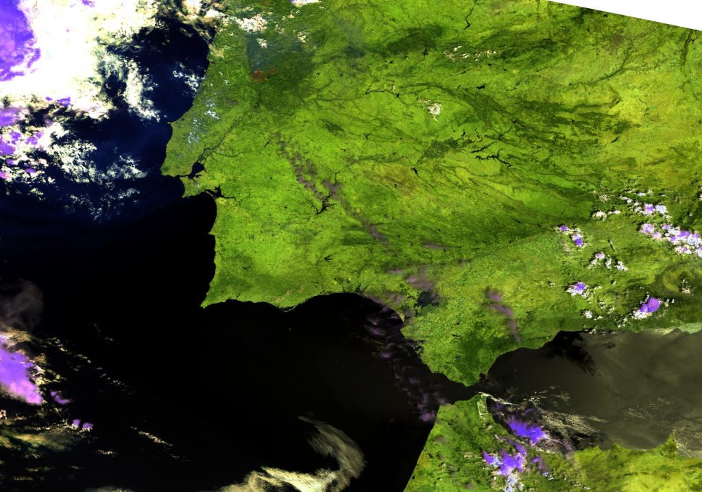
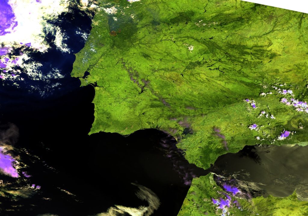
Satellite observations have made a big difference in the monitoring of air pollutants and in the improvement of air quality forecasts. Satellite observations are currently used to estimate the concentrations of various air pollutants.
For instance the European Sentinel missions, Sentinel 5-B and Sentinel 3, but also instruments on METOP, are regularly used to derive concentrations of various trace gases and aerosols. Earth remote sensing data are however not only relevant for monitoring air quality but also for forecasting air quality. These data are essential to determine the initial conditions in the atmospheric transport models that provide forecasts of various pollutants. We can therefore forecast air quality over time.
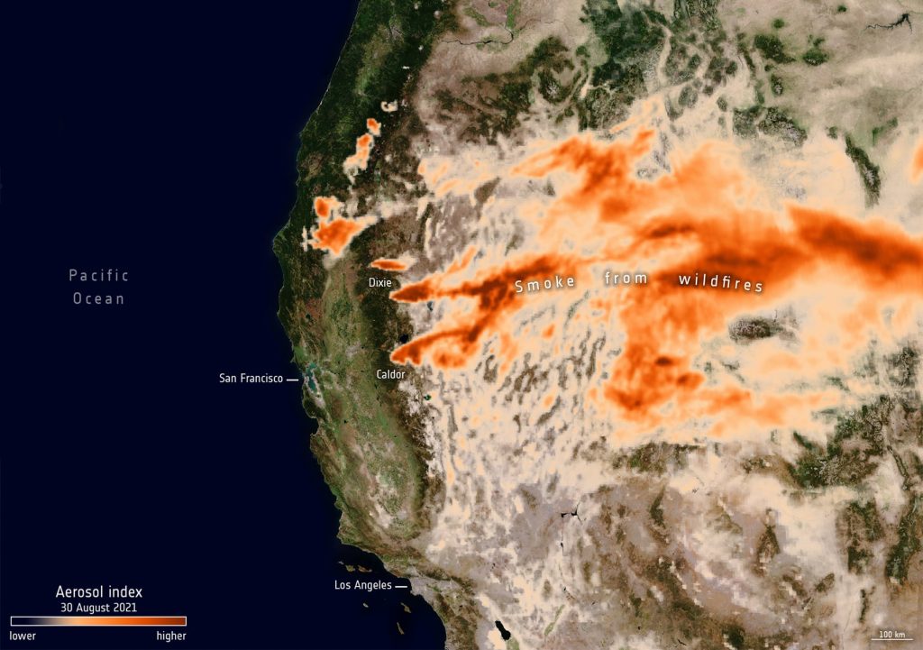
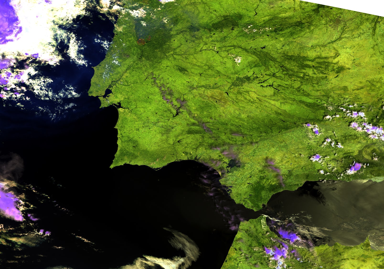
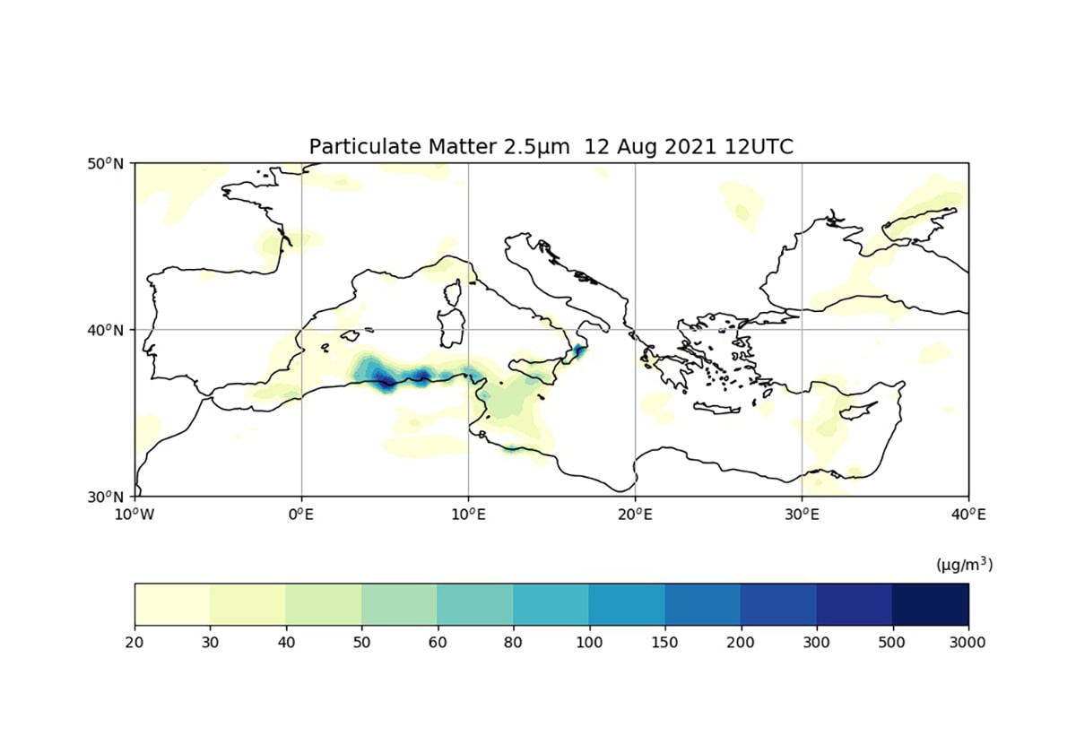
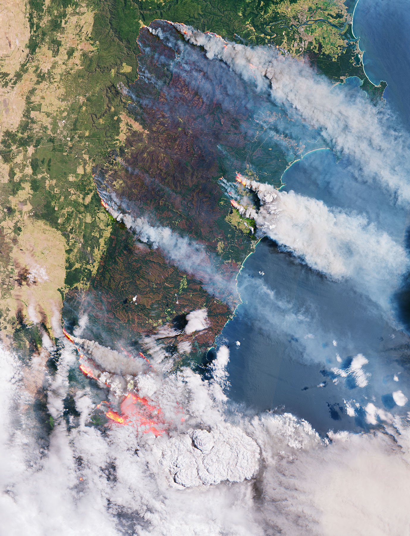
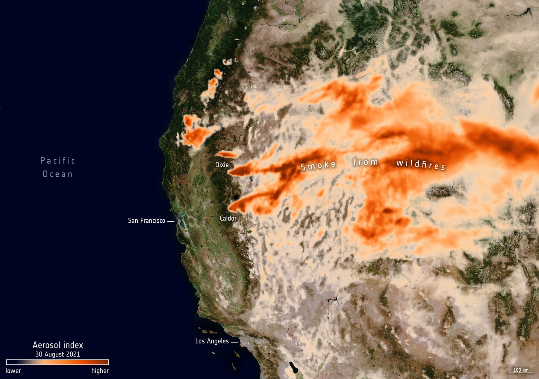
Wildfires release gases and aerosols to the atmosphere that can cause serious health risks. This is especially the case of fine particulate matter released from biomass combustion. We can use satellite observation to map and follow plumes.
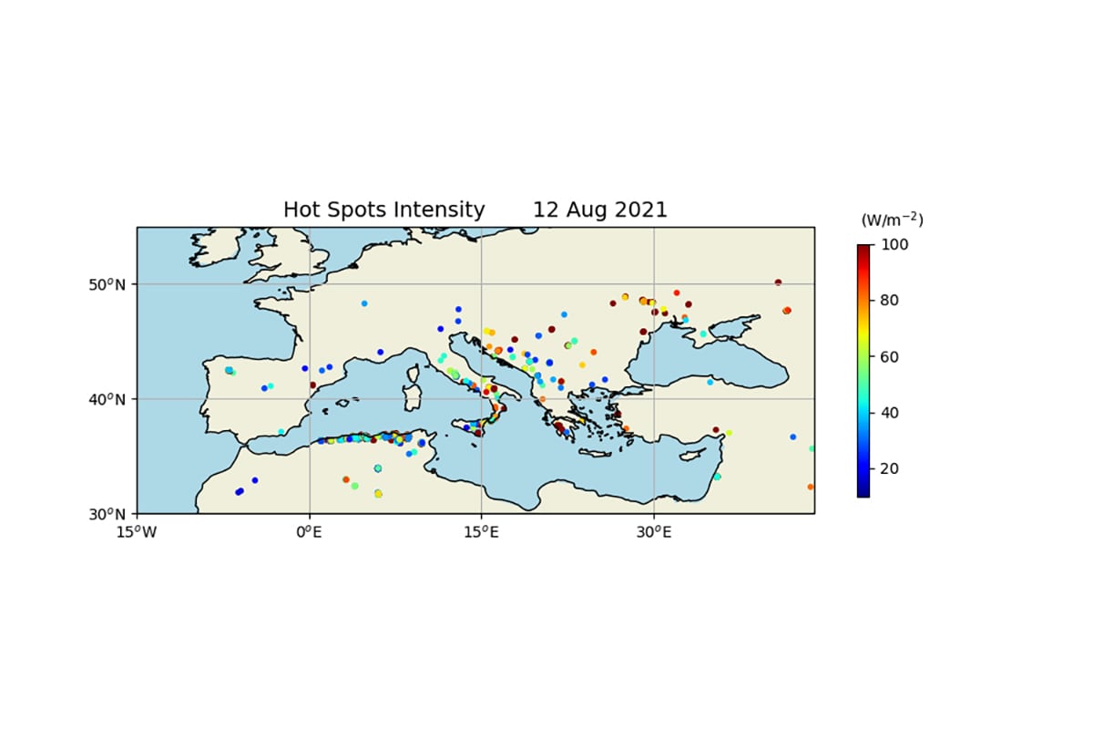
We can also use satellite data to identify hotspots and to quantify their intensity and therefore quantify the release rate of various pollutants, of various trace gases and of smoke particles. Monitoring fire activity and fire emissions as well as forecasts of fire plumes and their impact on air quality can be used for the guidance of the whole population, especially for those most vulnerable who can take precautions against degraded air quality conditions. This data also provides a basis for epidemiologists to assess the impact of such events on different population groups. The air quality forecasts can be also used by civil protection authorities or health authorities to give warnings or simply to provide guidelines to the general public and to specific target groups that may be considered more vulnerable such as the elderly, children, or people with chronic respiratory diseases.
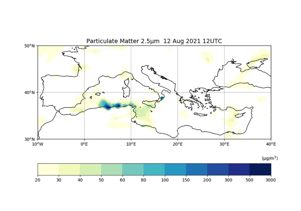
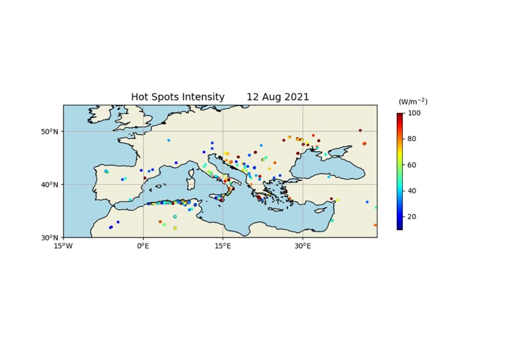
Furthermore, it is important to notice that the long term satellite observations of wildfires and wildfire emissions that we have been gathering over the last 15 or 20 years can also be used by epidemiologists to quantify the health impact of these events, especially the large ones, among different population groups.
Satellite data have changed the way we look at our planet. Wildfires are just one example.
With satellite data, we can monitor wildfire and characterise their intensity, as well as their emissions of combustion gases and particulate matter. These can have a serious impact on human health but we can also use satellite data to assess forest health, stress, and exposure to fire risk. Satellite data and lessons learnt from the past can help us to better manage our forests and ecosystems and ultimately contribute to minimising risks. Earth observation from Space provides a wide range of environmental data that influence our lives, which we can combine and use to achieve truly sustainable development.
Gallery
Ensure healthy lives and promote well-being for people of all ages
Check out more
