We can follow the dynamics of climate change to monitor infrastructures and build early warning systems
Kai Fürstenberg, Project Leader - Institut der Feuerwehr NRW, Münster, Germany
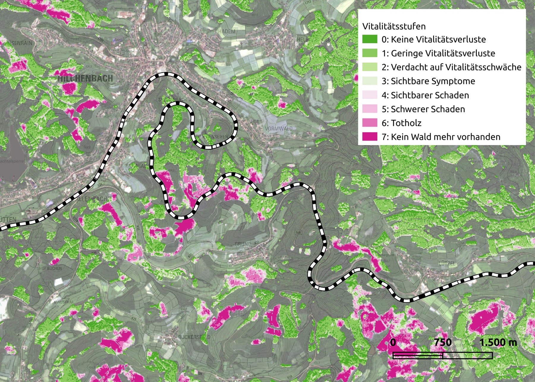
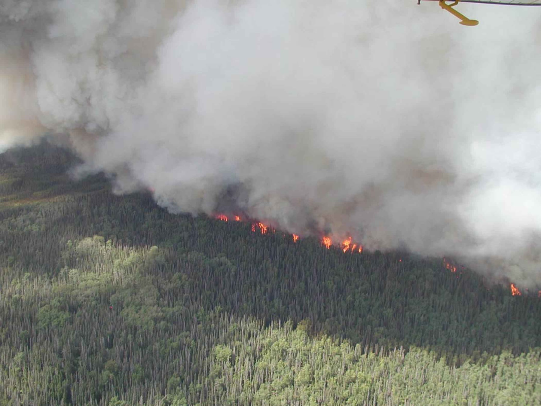
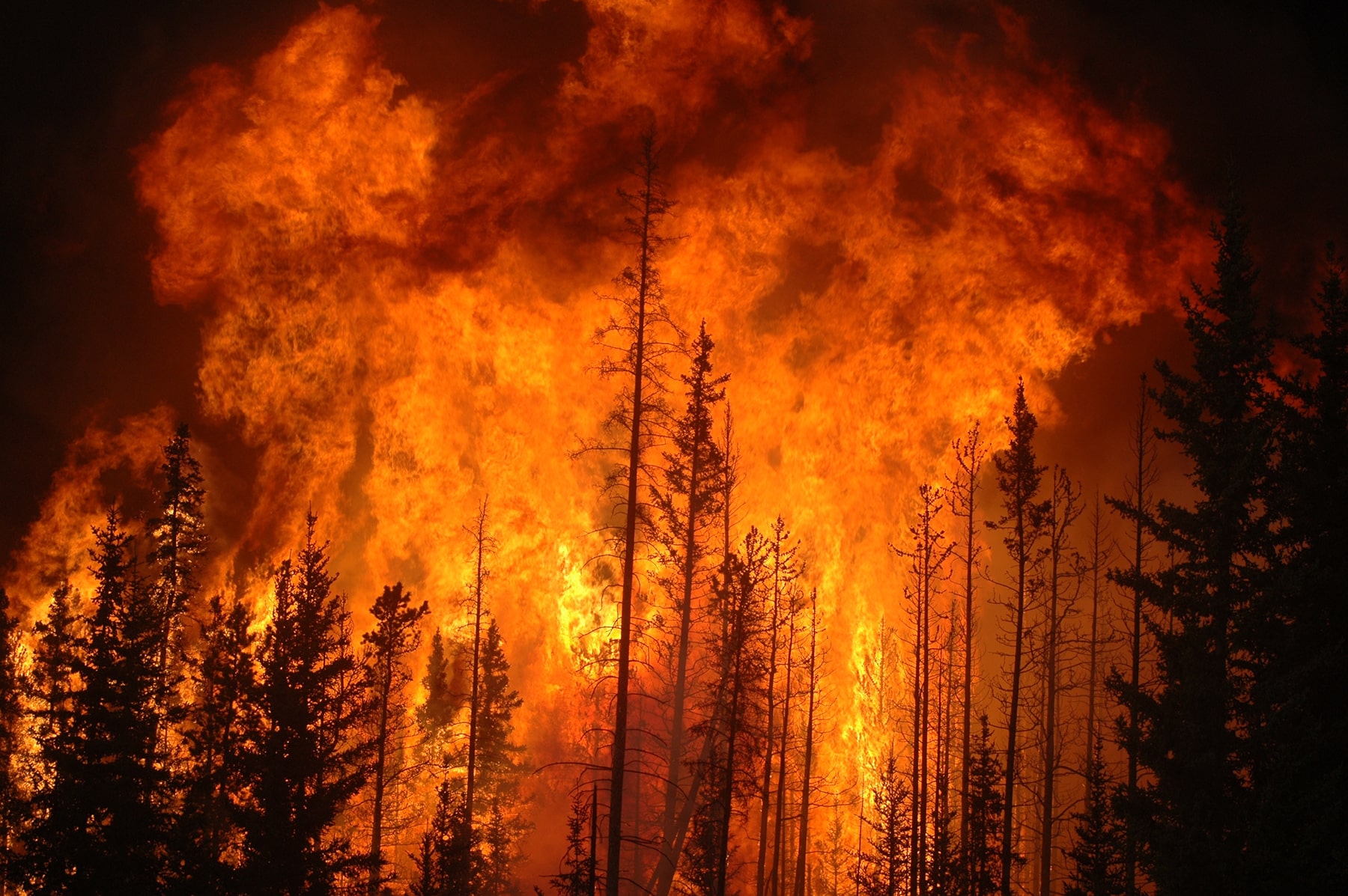
The focus of my current project is to establish an early warning system that provides information on vegetation and wild fire dangers around traffic infrastructures like train tracks or roads but also in the forest and agriculture areas. The benefit of the European Union Copernicus satellites and infrastructure is that we get high temporal and spatial resolve data that enables us to find out which vegetation is in areas endangered by wild fires with a resolution of 10×10 meters. We can also provide information where active wild fires may be moving towards.
Interview
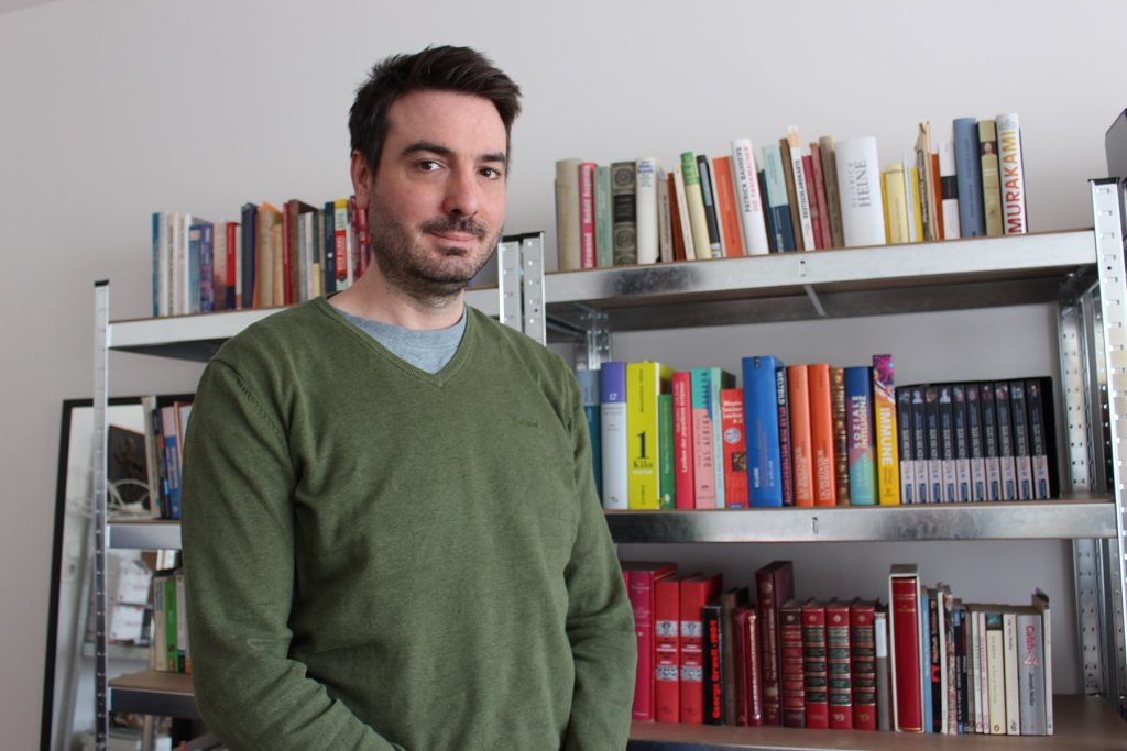
My name is Kai Fürstenberg, I live in Düsseldorf in Germany. I work at the Institute for State Fire Services in Munster. My Background is in political science and administrative sciences. I have a specialization in South Asian studies as well. My other background is as a volunteer firefighter, so I bring that together in my current position as associate researcher at the Institute for State Fire Services in Münster.
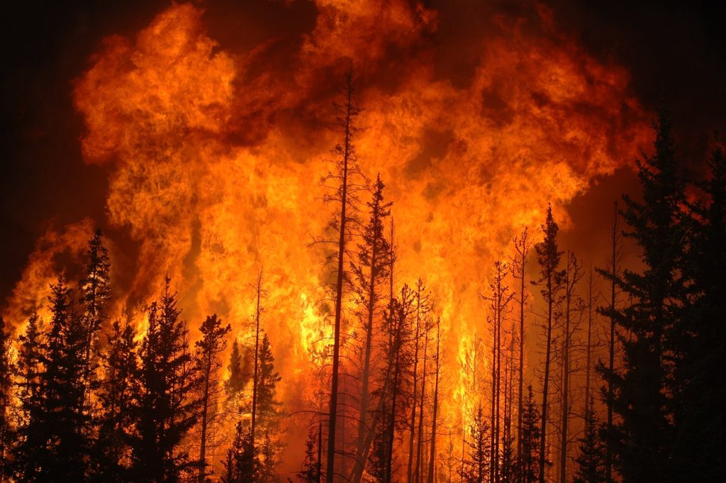
The focus of my current project CCFireSense is to establish an early warning system that provides information on vegetation and wild fire dangers around traffic infrastructures like train tracks or roads but also in forests and agricultural areas.
The main purpose is to provide institutions like firefighting services but also commercial enterprises like the Deutsche Bahn with the ability to know where wild fires might endanger the infrastructure and to enable them to provide measures against that.
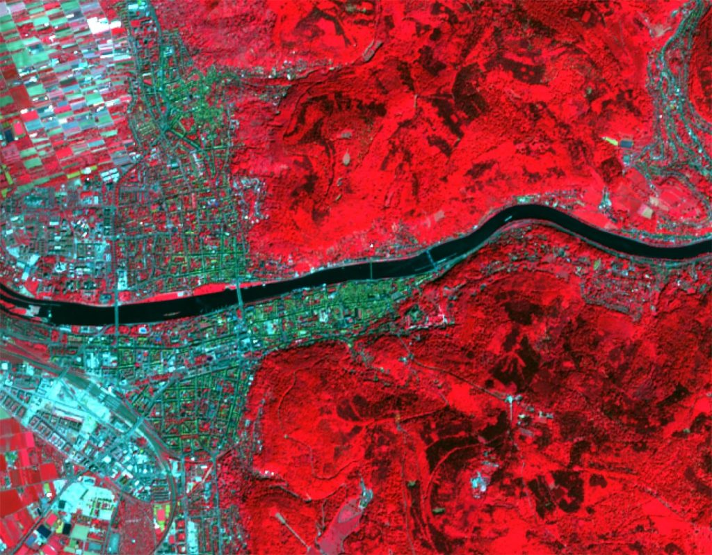
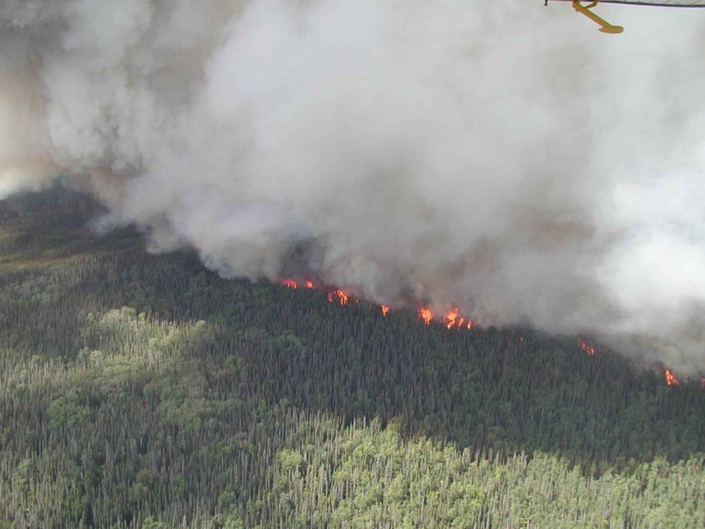
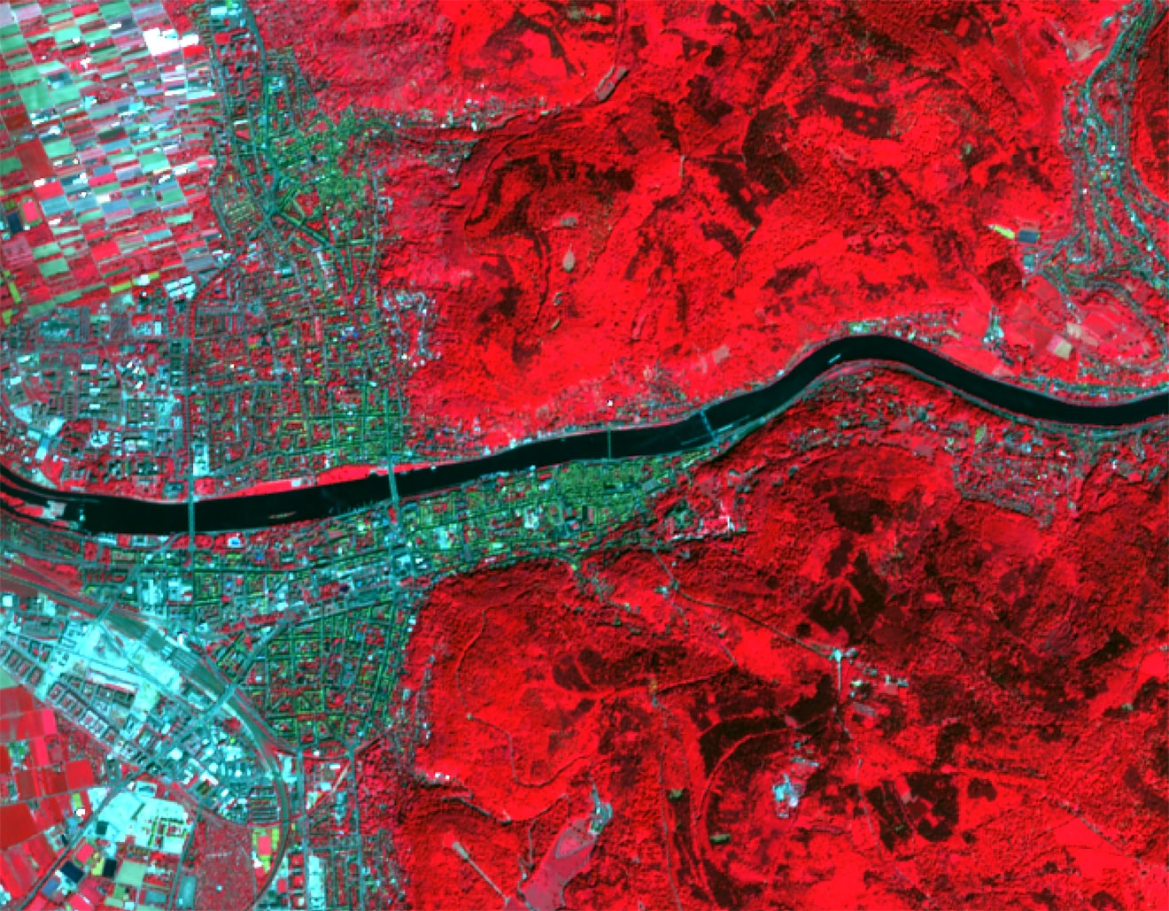
The information we collect from European Sentinel satellites is mostly vegetation information. We use Sentinel 2 satellites – a twin satellite system, Sentinel A and B – that collect information about vegetation on the ground in the infrared spectrum. We use mainly the normalized difference vegetation index and moisture stress levels to see which kind of vegetation is stressed by dry weather and dry conditions, and may be flammable. We use this before wild fires occur so we try to find out the risk of catching fire for certain types of vegetation and hence enable measures against this. In the event of wild fire, the services we provide can help to estimate where wild fires might move to. We know which vegetation is endangered by wild fires so we can provide information where active wild fires may move towards.
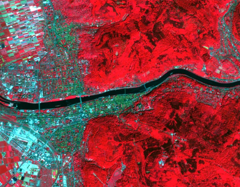
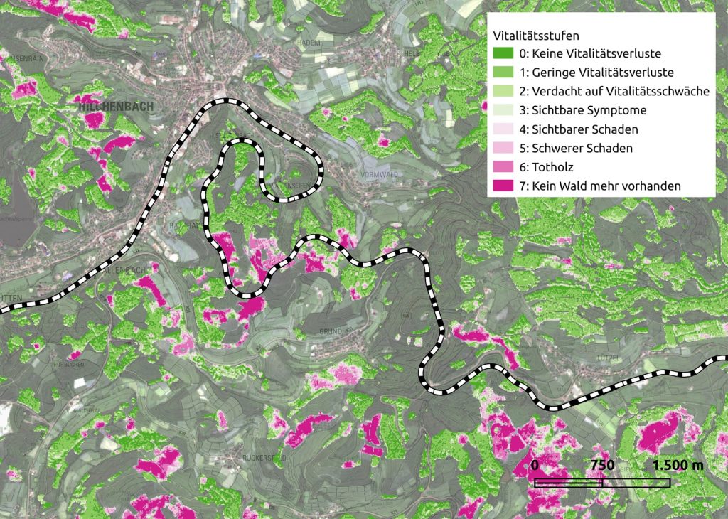
The benefits of Copernicus satellites, not only the satellites but the whole Copernicus infrastructure, is that we get high resolution, temporal and spatial data that enable us to find out which vegetation is in an endangered area for wild fires.
We use a very specific temporal and spatial resolution which for Sentinel Satellite 2, at the moment, is 10×10 meters. This gives us an advantage over the wildfire indicators commonly used by the German Weather Services which are 5×5 kilometers so we can pinpoint much smaller areas. This helps provide risk profiles that are much more specific to a certain area and therefore much more useful in areas of traffic infrastructure which are smaller and more complex. We combine this with the Copernicus infrastructure we have on the ground, to obtain, for instance, in the case of Northern Westphalia, information about infrastructure, which areas belong to different kinds of institution or enterprise and the exact pinpoint locations of houses, of streets, of forests. This brings very small, special resolution data so we can provide information of fire danger in very small areas.
The system will evolve or should evolve in a feedback loop with ongoing dynamics of climate change. We feed the system with new information – changing vegetation data and weather conditions – so that it keeps giving us a risk profile adapted to the situation. If, over 5 years, we have different temperatures and different weather conditions, the system will be adapted to this through the feedback loops. Constantly enabled by feedbacks, the system should evolve into one that works with dynamic climate change, including changes to vegetation and to weather conditions. We know that climate change will lead to changes in the weather of these areas in Germany and also to changes in vegetation, so through constant feedback we are able to adapt the system to future dynamics, and to the conditions at hand. It is currently focused on Northern Westphalia where we work closely with the State’s Copernicus infrastructure, but the overall aim is to provide the system with entirety of Germany and maybe even other countries.
The message I would send is that climate change is here and we need to do something about it, using the full spectrum of applications, not only classical environment monitoring but also applications relating to disaster management and wildfire prevention. Wildfire prevention is a small aspect of climate change but it is an aspect people often forget. Copernicus is a great tool to do this because it is free of charge and is a very powerful system. It is also constantly evolving further into higher spatial and temporal resolutions giving us more and more data about the planet for use in disaster prevention and management.
Gallery
Build resilient infrastructure, promote inclusive and sustainable industrialization and foster innovation
Check out more