We can mitigate the impact of climate change on cities and preserve our cultural heritage
Irma Della Giovampaola, Archeologist
Ministero Della Cultura
Rome, Italy
In recent decades, many exceptionally valuable archaeological sites have suffered damage due to natural processes or human intervention. Earth observation can play a very important role in the maintenance and preservation of our cultural heritage. At the Coliseum Archaeological Park, we have launched a system based on satellite data to monitor soil and structural deformations, evaluate vegetation stress, identify erosion processes, and locate excavation activities and building misuse.
Interview
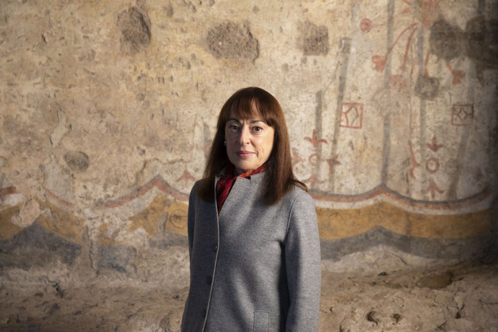
My name is Irma Della Giovampaola. I am a director of archaeology with a PhD in classical archaeology specialising in the archaeology of late Antiquity. After gaining experience in land protection at the Superintendence (of Archaeological Heritage) in Tuscany for archaeology related issues, in 2018, I moved to Rome to the “Coliseum Archaeology Park”.
In recent decades, many exceptionally valuable archaeological sites have suffered damage due to natural processes or human intervention. Earth observation can play a very important role in the maintenance and preservation of our cultural heritage. At the Coliseum Archaeological Park, we have launched a system based on satellite data to monitor soil and structural deformations, evaluate vegetation stress, identify erosion processes, and locate excavation activities and building misuse.
At the park, in addition to dealing with conservation issues and managing Roman Forum monuments, for which I am responsible, I have launched a monitoring project inspired by the desire to build a sustainable system of protection and conservation with visitor satisfaction at its core.
Despite the progress enabled by the development of technologies designed to protect cultural heritage worldwide, in recent decades many sites of exceptional value have suffered sometimes irreversible damage due to natural causes, accelerated by climate change, or to human causes, with rapid or slow onset.
Earth observation can play a very important role, not only for large-scale territorial monitoring, but also because, due to the evolution of interferometric techniques, it is possible to observe pre-collapse deformation trends for predictive purposes, which is useful for the conservation and maintenance of monuments.
The objective is to intervene on archaeological assets before phenomena can negatively affect them. The main advantage of applying satellite analysis is the possibility for interpreting ground deformation data by reprocessing this data on a monthly basis.
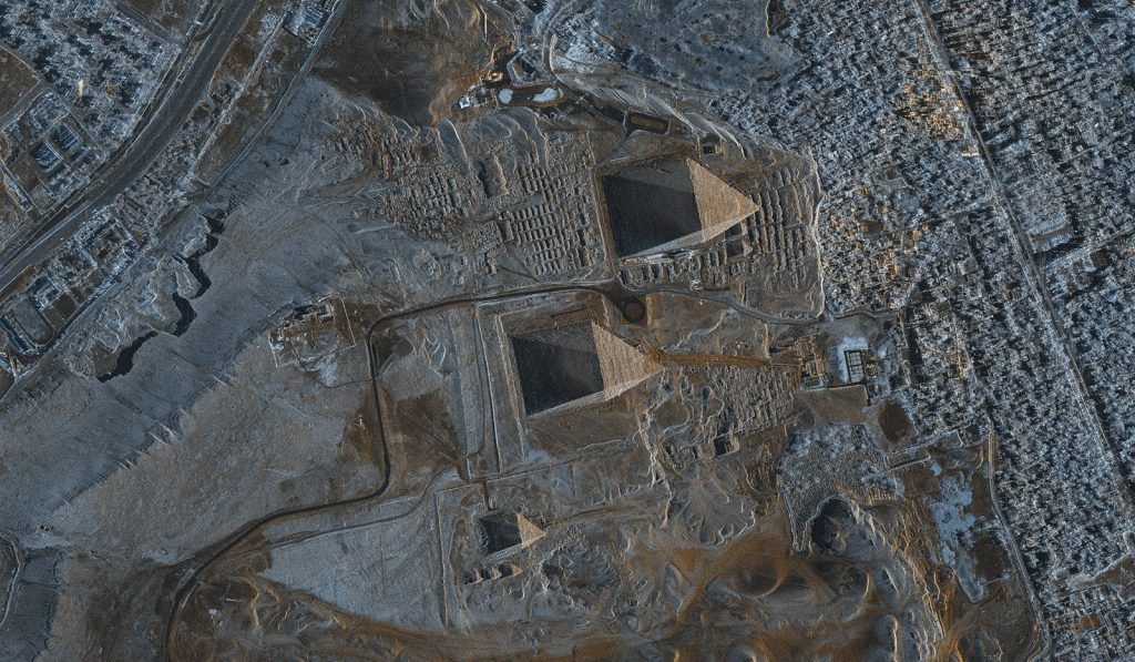
Thanks also to the role played by Earth Observation techniques, new ways are being developed and implemented in line with the objectives of the UN 2030 Agenda for Sustainable Development, in particular Target 11.4: “initiatives to strengthen the protection and safeguarde of cultural and natural heritage “.
As the person in charge of monitoring the Coliseum Archaeological Park, I have been developing a management system capable of simplifying complex conservation issues for the needs of today’s society, which also addresses and mitigates the effects of climate change. The system is also capable of becoming a knowledge tool in the process of the participative democratization of culture. Its name is the “System for Protection and Education of Archaeological Heritage” (Sypeah), and is an information system built using open-source software.
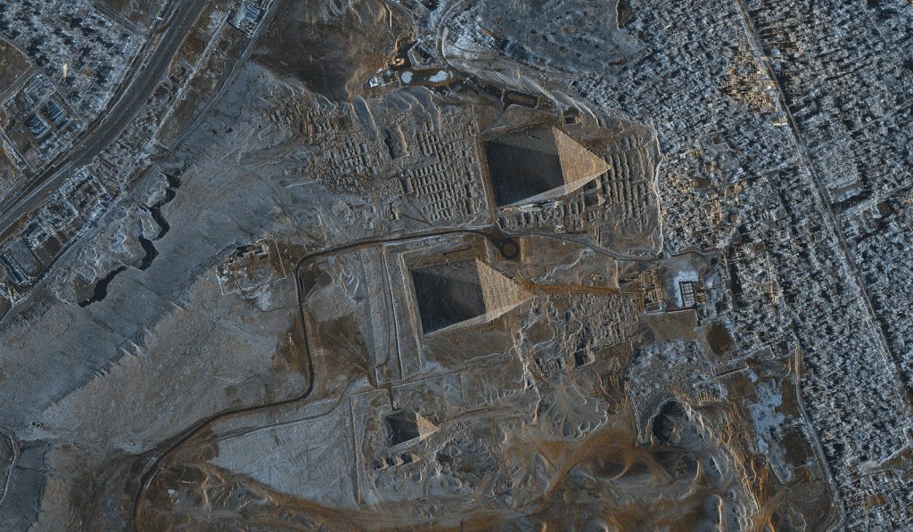
Based on monitoring, it aims to create a predictive model for the risk of loss of archaeological heritage and preventive conservation through planned maintenance, implemented using Space observation interferometric techniques. Permanent Scatterers (PS), namely satellite data, can be superimposed on the different layers to which the information is attached. This is the result of a Cosmo-SkyMed satellite survey campaign commissioned by the Archaeological Park to e-geos in order to deduce the temporal evolution of deformation processes, already partly identified during a brief experiment in the central archaeological area of Rome in 2009-2011.
The results of this campaign, which led to the acquisition of many permanent scatterers, are still being analysed in order to identify possible pre-collapse deformation trends for predictive purposes.
This experience has made it possible to launch the design of a multi-system monitoring system also within the framework of the “national project for monitoring and programmed maintenance of artistic and monumental heritage”, of which the Coliseum Archaeological Park is the leader.
The parameters of the specific interest that will be monitored are:
- deformation of soil and structures
- mapping and classification of weed vegetation and estimation of stress due to vegetation
- identification and characterisation of erosion processes
- location of excavation activities
- identification of building abuses
Gallery


Make cities inclusive, safe, resilient and sustainable
Check out more